Flood maps miss millions of at-risk homes
Researchers found that 14.6 million properties face flood danger despite being outside official zones, with local factors determining specific damage.
By Stefan Greco ·
Federal flood maps do not tell the whole story of water damage risk. Millions of homes outside designated zones face rising threats that official charts fail to capture. This gap leaves many residents exposed to financial and structural harm they did not expect.
Estimates suggest 14.6 million properties sit in danger areas. About 6 million of these lie outside the boundaries drawn by the Federal Emergency Management Agency. These maps often rely on historical data rather than future projections. Some zones have not been updated in twenty years.
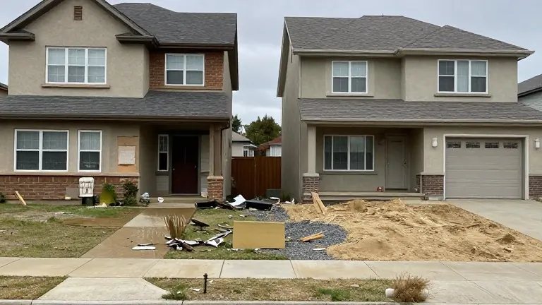
The maps answer whether water might reach a neighborhood, but they do not assess individual homes. Two houses on the same street can face very different outcomes. A newer, well-maintained home with insurance may survive a storm largely intact. An older, uninsured house at the low end of the block may suffer severe damage. The same storm creates different paths to recovery for neighbors.
Researchers from Rice University, Arizona State University, and the University of Colorado Boulder built a risk score for nearly one million homes in Houston. They published their findings in the journal Applied Geography. The team included Aaron Flores and Sara Meerow in this analysis. Their work shows that house-by-house differences matter more than neighborhood averages.
The study combined four types of data to measure vulnerability. First, they estimated flood depth for a 100-year event using national models. Second, they examined building age and construction quality using county appraisal records. Third, they measured traffic volume within half a mile and three miles to gauge access for residents and emergency responders. Fourth, they looked at repair costs and insurance coverage rates in nearby areas.
The results showed that vulnerability scores varied more between individual houses than between neighborhoods. A safe-looking area could contain some of the most at-risk structures in the county. Conversely, a risky zone might hold many well-protected homes. This means a neighborhood average can hide specific dangers for individual owners.
Homeowners can take steps to assess their own situation. They should ask long-term neighbors about past flooding. Local property records reveal a home’s age, and inspectors can evaluate its condition. Residents can also check if routes to work and school flood easily. Most standard homeowner policies do not cover flood damage, so checking specific insurance terms is necessary.
Local officials can use similar data to target limited funds for flood protection. Existing address-level scores from groups like First Street can be combined with local building and road records. This approach helps communities identify where help is needed most. Data similar to the Houston model exists across much of the United States.
Source: Cobb County Courier